Geodesignhub helps cities, communities, and organizations make faster, smarter planning decisions—together.
👉 Book a Live Demo
Whether you’re tackling urban development, infrastructure, environmental planning, or policy-making, Geodesignhub helps you move from scattered ideas to structured, data-backed decisions. By combining intuitive sketching tools, real-time collaboration, and scenario management, it empowers teams to visualize trade-offs, build consensus, and make progress—faster and more transparently.
Collaborate Intelligently
Bring diverse stakeholders into one planning space—online or in-person.
Streamline Complex Decisions
Manage priorities, conflicts, and strategies efficiently—without endless meetings.
Backed by Data
Connect with GIS and modeling tools for evidence-based decision-making.
Geodesignhub focuses on building consensus between and among people who don't get along and hold diverging positions socially and politically. Decision making in this context is very difficult and often has to be done with huge uncertainty and risk. Geodesignhub uses maps and maps based negotiations to enable a give-and-take process where an agreements can be made. You will need a mediator who runs the negotiation supported by the software.
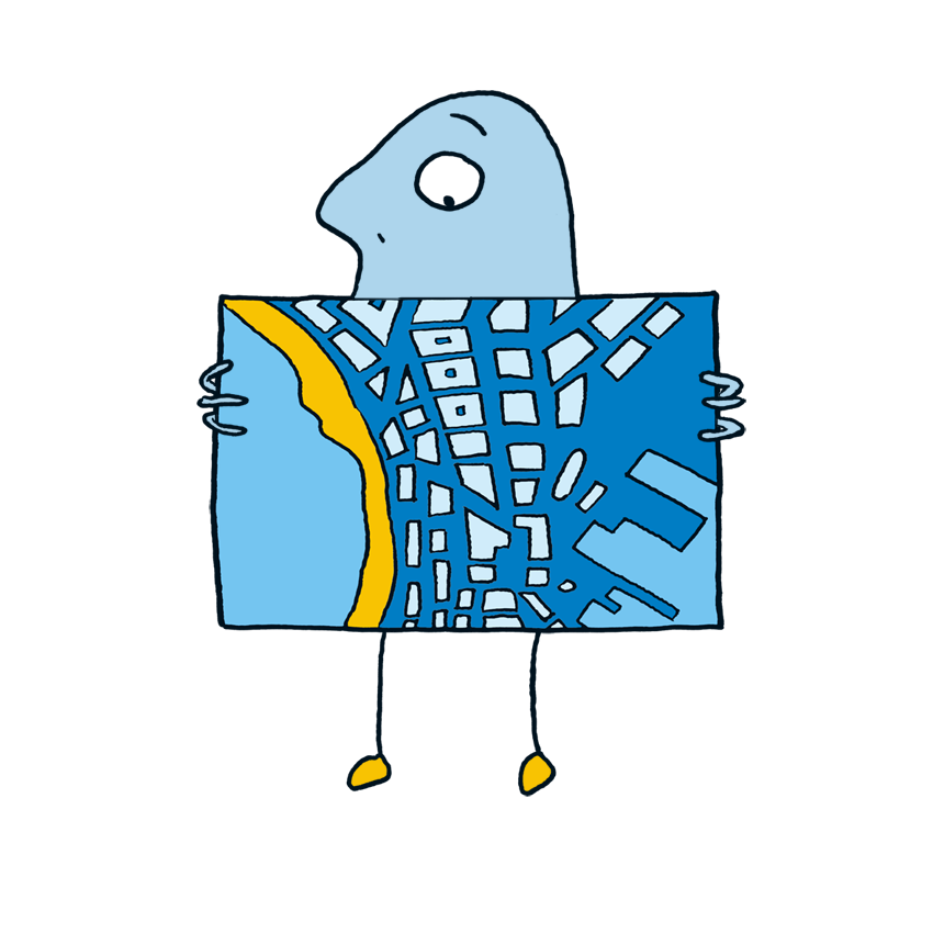
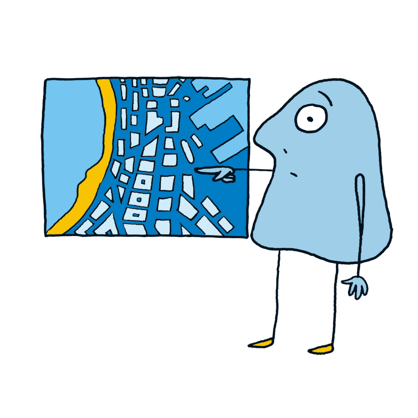
When you have a sites that are contested by competing economic, environmental & social forces
When you have a problem with conflicting political views that must be accomodated & reconciled to move forward
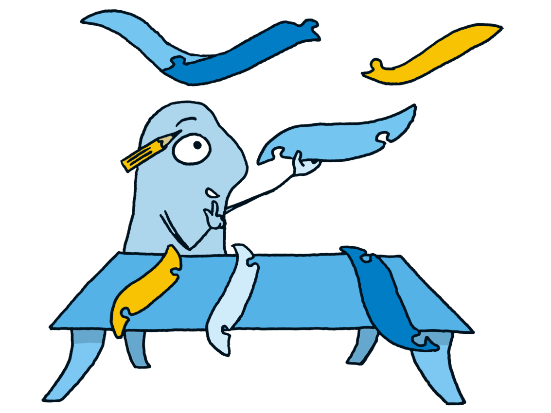
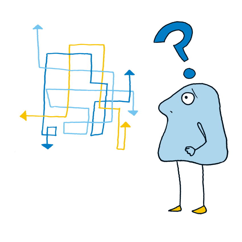
A project where it is difficult to make a clear decision, we help you move forward by reducing risks
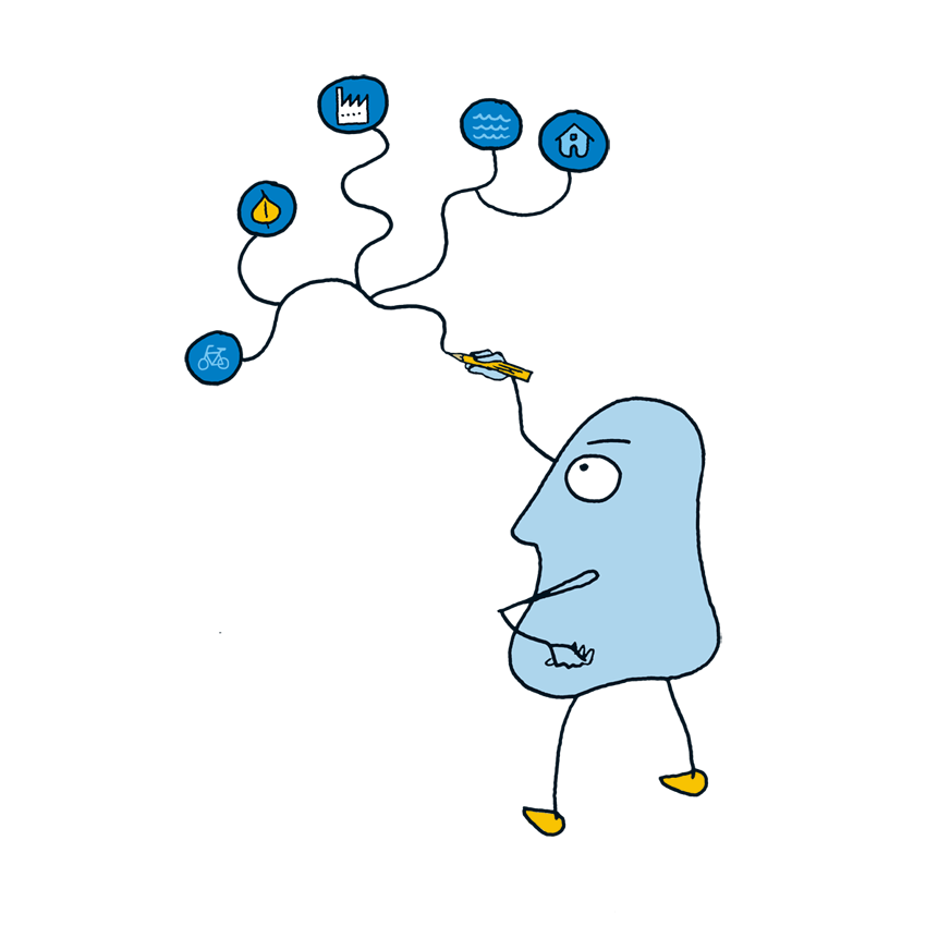
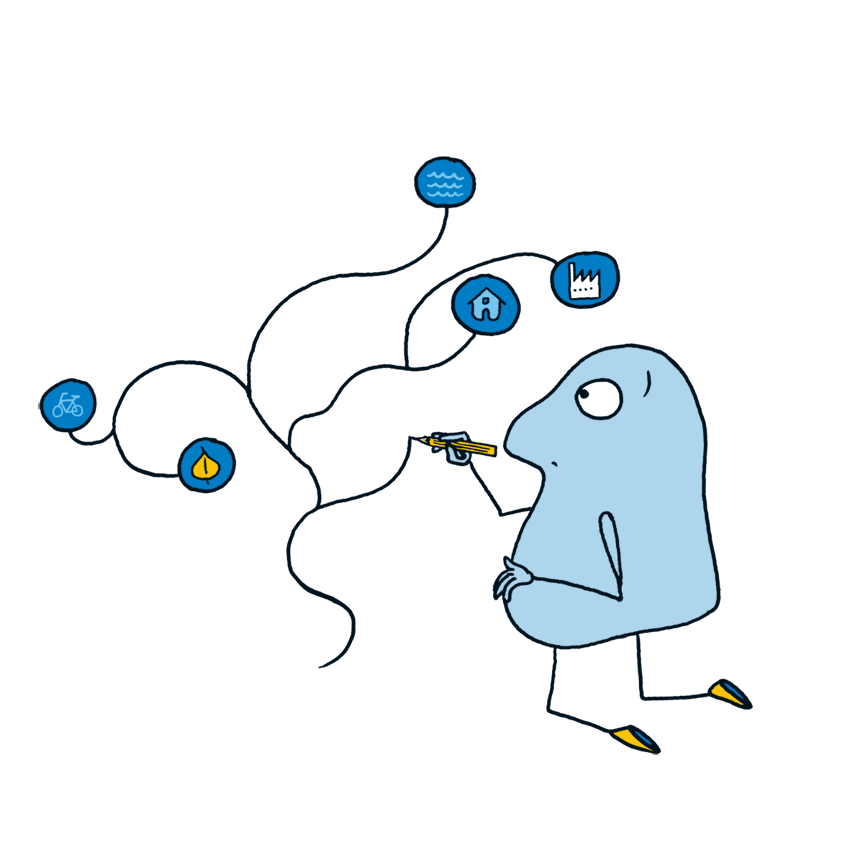
When the your problem is complex and it is difficult to organize varied the stakeholders and information
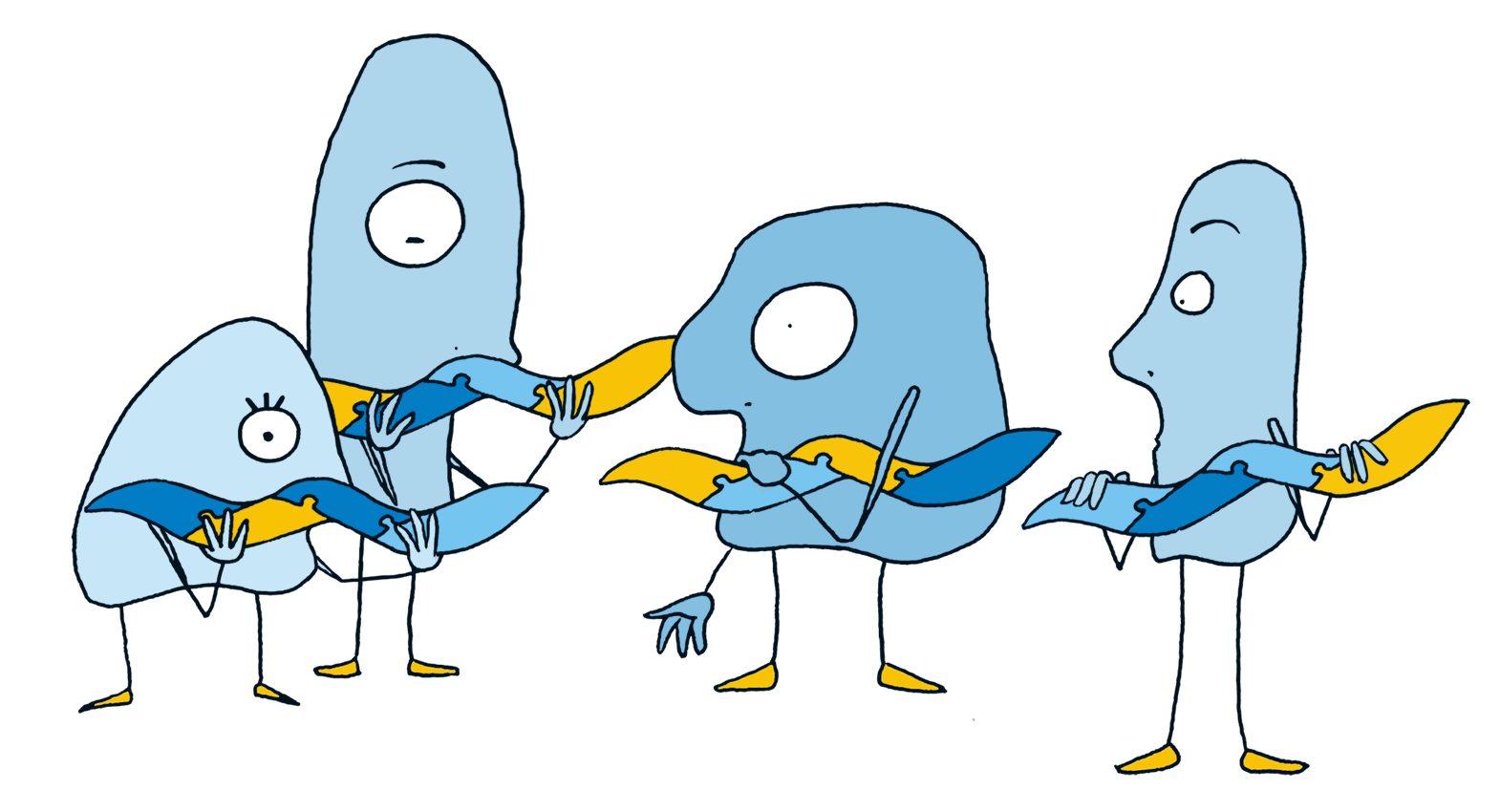
When you have stakeholders who need to negotiate & compromise to move forward, our technology facilitates these negotiations.
Online or in person, upto 50 participants
Professionally trained facilitators
Geodesignhub helps property developers, community organizations, portfolio managers, local authorities, urban designers / planners, make consensus driven decisions by organizing sophisticated digitally powered negotiations with stakeholders.
Event organizers use the technology to expedite projects and agreements for complex problems in different domains:
Geodesignhub provides a innovative digital process that can be deployed for your project to help you conduct a new type of digital engagement with your project stakeholders. Decisions around management of our cities, regions and communities have serious long-term impacts on the future for the environment, economy and the social fabric. Our award winning tools support decision making in this context and give super-powers to your organization's management capacity.
Is Geodesignhub right for your project?
What we do:
We are a go!
We help you collect and organize data, identify and use existing data if you have it available. We also use Geosurveys and conduct surveys via social media, field visits etc.
Digital Negotiations!
We help you setup and organize the meetings, help in preparing invitations, organize consultations and supervise meetings with stakeholders.
Post-negotiations
After the negotiations have concluded we help with capturing the outcomes, providing reports and conducting analysis on the negotiated outcomes and help implementation phase.
Transforming Complexity into Clarity
In the realm of planning and design, complexity is a constant. Geodesignhub empowers you to navigate this complexity with confidence. By integrating diverse data sources, stakeholder inputs, and spatial analysis into a cohesive platform, you gain the ability to make informed decisions swiftly and collaboratively. This isn't just about managing projects—it's about leading them with insight and precision.
With Geodesignhub, you can bring order to even the most complicated planning challenges. It helps you and your team see the big picture, explore ideas together, and move forward with a shared understanding. Whether you're working on a neighborhood plan or something much bigger, it's like having a clear roadmap—and everyone’s on the same page.